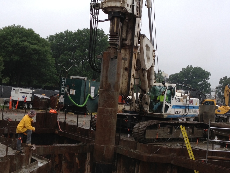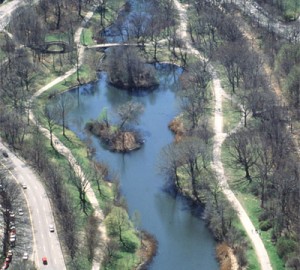
Construction along the Muddy River reconfigured traffic over the weekend in the Fenway area, the Boston Globe reports, closing a strip along the Riverway — possible preparation should the region face another severe storm.
Drivers traveling northeast from the Longwood Medical Area into Fenway can drive through Brookline Ave, but going the opposite direction could get a bit more complicated. According to the Globe, if you’re traveling in the reverse direction, you must take a detour through a roundabout “first turning right onto Park Drive, and making the wide U-turn to get onto Riverway, where motorists are then able to turn right onto Brookline Avenue.”
Boston.com posted this video demonstration
This detour will reportedly allow the construction staff to install a “culvert” underneath the road, the Globe reports.
The purpose of the project is to help correct flooding from the Muddy River into the Fenway area.
The one-year anniversary — at the end of October — of Hurricane Sandy is approaching fast; While Boston was able to escape the full-brunt of the the storm’s impact, the city faced potential devastation.
 Citing a recent study, WBUR reported last February that 6 percent of Boston could have been flooded if Sandy struck at high tide; Portions of the city along the Muddy River could have been the most severely affected.
Before the Charles River Dam was built in the 1950s, the Muddy River “extended through the Fens, wrapped through Charlesgate and emptied into the Charles River,” WBUR reports. The dam directed the river’s flow into underground drains.
The change did little to correct the problem.
Former Governor Michael Dukakis criticized efforts to address Muddy River flooding concerns.
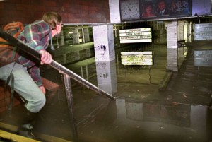
“I can’t remember, 1995 or 1996 [The Muddy River] flooded the Green Line subway,knocked it out of action for months,” Dukakis told WBUR. “It was just horrible.”

The damage cost from the flooding reached nearly $60 million, WBUR reports.
The Muddy River Restoration Project, has been in the works for years, but only recently received Congressional approval; the federal government agreed to cover the majority of the $92 million cost, and the U.S. Army Corps of Engineers has been assigned to run the project.
The project received support when it was discovered that severe storms pose a flooding threat, WBUR reports.
The project is currently in phase one, which consists of cutting down 200 trees and installing a box culvert underneath the Brookline Avenue roadway.
Last week, the Red Sox and the BRA finalized a property deal that will have the club pay $7.34 million for land and air rights over the next 10 years. As a part of the deal, the city will pay the Sox $2.6 million to acquire Richard Ross Way, a connecting road between Boylston Street and Brookline Avenue. It’s unclear if the timing of this project is related.
BostInno reached out to BRA Director Peter Meade over email for comment, but he has yet to respond.
Featured Image from MRR website
