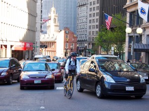
As winter sets in and bikers begin to clear off the roads, the City of Boston is using the downtime to gather input from cyclists on how to improve the streets. A new interactive map released by Boston Bikes is latest crowdsourcing effort by the city to help gain this information.
The map allows bikers to pinpoint frequent routes, difficult intersections, poor pavement conditions, areas that need more bike racks and more. When you drop a pin on the map, you can also add comments to further explain your situation, such as why an intersection is unsafe or where exactly the worst potholes are located.
This new map is important for two reasons. First, it’s another example of the mayor’s office using crowdsourcing methods to help improve Boston. Back in November 2010, the city launched Citizen’s Connnect 2.0, an iPhone and Android app which enlists Bostonians to gather information about the physical state of the city, like potholes and graffiti, report it on-the-go and get it fixed fast. In one of the greatest innovation hub’s in the country, Menino is smart to utilize technology to help make this place even better.
The new map also points to the city’s continued efforts to become a more bike-friendly town. For example, just last month, the city cleared 71 parking spots to make way for a bike lane on Mass Ave, and with the massive success of Hubway’s first season, it looks like they’re right on track. Hopefully, this map will inspire the city to create a more biker friendly atmosphere.
Check out the map below. Some of the comments are pretty hilarious. One biker is pissed about a hill and another who says “kids like to try to knock cyclists off their bikes during the day.” I’m not exactly sure how Menino can help that, but hey, where there’s a will, there’s a way.
The map is also available here and will accept comments through April 30. It’s pretty self-explanatory, but click here for further instructions.


