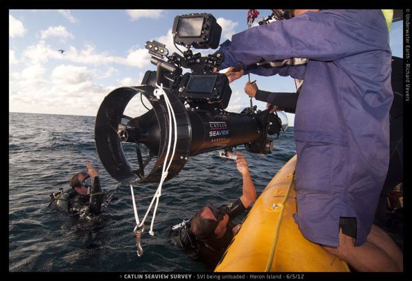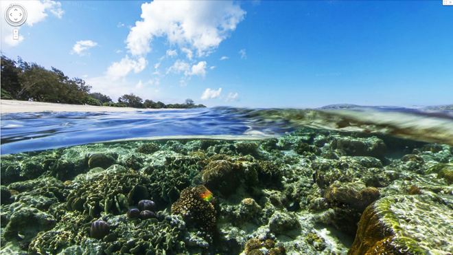
Today a new feature was added to Google Maps’ ever-popular Street View: underwater maps. In the hopes of creating a virtual ocean map, Google and partner, The Catlin Seaview Survey (Google+), have snapped panoramic shots of six sea spots using underwater scooter cams.
If you are one of the 99% who have never and will never go diving, this is your chance to see explore some of the worlds most breathtaking oceans. From the world-famous Great Barrier Reef, to the crystal clear Hawaiian waters, to the depths of the Philippine waters, surf the ocean anytime at maps.google.com/ocean.
But Google and Catlin have bigger dreams for their creation from “down unda.” These underwater maps were created to increase public engagement with underwater sea life. They believe that by promoting ocean awareness and interest, people will care enough to actively participate in ocean conservation initiatives.

Though ocean conservationists have had a long-time struggle with raising public support, the promise of exotic new locations, updated features, and iPhone accessibility may soon turn Google and Catlins’ dream into reality.
How effective do you think underwater maps will be at sparking public concern for ocean sustainability? Are underwater maps just another ephemeral Google toy or do they inspire you to take a deep breath and dive into ocean conservation initiatives?
